


wyld’s new plan for london for 1859
- View other items in:
- antique books
- atlases & maps


arthur hook
Enquire about this antique
Arthur Hook has 3 antiques for sale.
click here to see them all

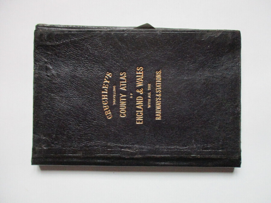
Wyld’s New Plan for London for 1859. Published by James Wyld, Geographer to the Queen and Prince Albert, January 3rd 1859. In 21 sections. Size 80 by 62.5 cm. Scale three inches to the mile. Decorated borders. Hand-coloured. Covers an area from Golders Green and Cricklewood across to Walthamstow in the north and from Fulham Palace across to Blackheath in the south. Folds into original slipcase with the Wyld label to the front. The name Thomas Jones, possibly the original owner, appears in ink to a label on the reverse of the map. Map and case both in VG condition.
Antiques.co.uk Ref: AKD2K9J56
- Maker/Artist:
- Wyld
- Materials:
- Folding map on linen
- Width (cm):
- 80
- Height (cm):
- 62
Please note that this price may NOT include delivery charges which the seller may charge extra for.
Arthur Hook
Books, maps and ephemera
Contact details
54 Egerton Road
Bristol
Gloucestershire
BS7 8HL
UNITED KINGDOM
T: 0117 9144673
E: hooksbooks@blueyonder.co.uk
W: hooksbooks.weebly.com